![]() Madagascar Voyage Diaries
Madagascar Voyage Diaries
![]() Madagascar Voyage Diaries
Madagascar Voyage Diaries
Madagascar is indeed the place of great adventures and memorable explorations filled with the unique, extraterrestrial beauty of nature. Thousands of people from all over the world strive to hike through the intricate landscapes of the island with a safe yet enthralling experience taken home. But how to make your independent journey as secure as possible?
Location-monitoring tools of all sorts, be it a phone number tracker or sophisticated software, offer various opportunities for those who wish to trek around Madagascar’s environment vividly and safely. Location-tracking apps, though, represent the most popular option which might turn into your private travel assistants and digital friends to consult.
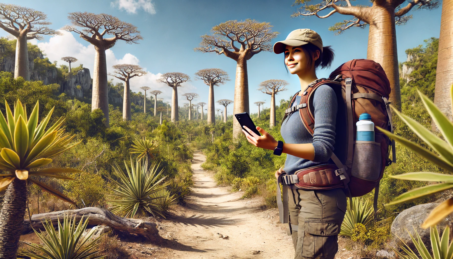
Those who aspire to go hiking in the Madagascar region know that such an endeavor necessarily requires the preparation of tools and goods to use during the trip. Though some people pay attention to the wardrobe, first aid kit, and special hiking equipment, it is also vital to manage your basic activities, such as transportation, emergency calls, communication with other travelers and your loved ones, and more. Hence, tracking apps appear to be one of the most reliable and convenient ways to handle all this.
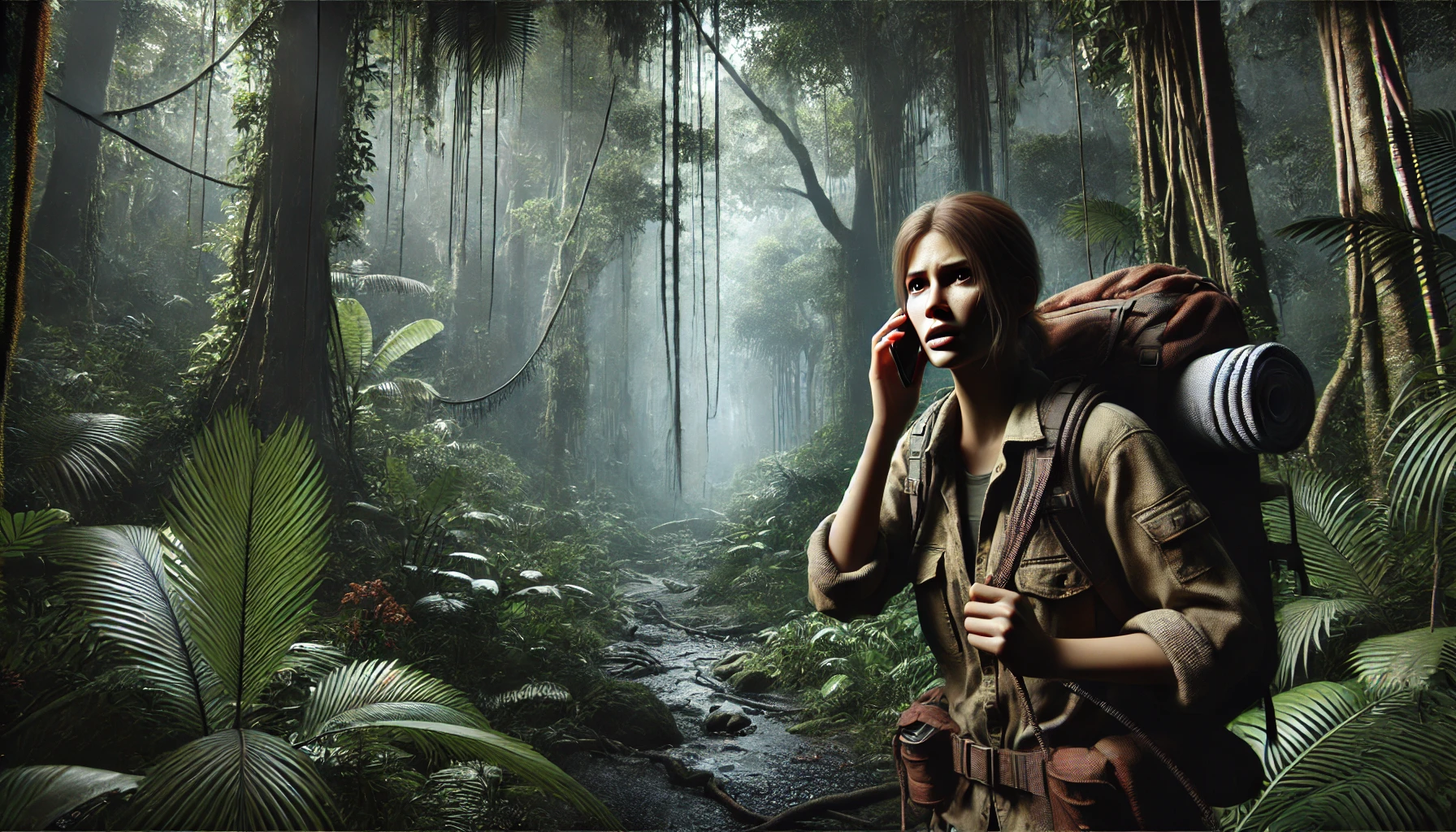
So, why could one want to employ location-tracking applications on a hike and before? Firstly, Madagascar’s hiking trails are often located in isolated and rugged areas that may feel uncomfortable to get through without a guide. Location trackers may potentially serve as mentors that automatically create routes according to your skills and interests, and provide real-time updates on your whereabouts with the use of GPS, rather than cellular networks.
Besides, the weather on the island may change rapidly, which frequently hinders navigation and communication among the hikers. The apps equipped with location-tracking technologies help you adapt, for they may provide updated trail information and weather alerts so as to minimize risks of injuries or getting lost, too. Nature may definitely surprise you, but let these revelations be of positive meaning only.
Thanks to the quickly emerging advancements in the industry, there exist numerous options, from simple and straightforward platforms to sophisticated and delicately crafted applications with different extensions and premium features. Nevertheless, they all may boast almost the same functionality with similar instruments that enhance safety and navigation during hiking trips in Madagascar. Here are the most common features that can be found on the majority of monitoring platforms:
Real-Time GPS Tracking: What anyone expects from the location-tracking app is accurate positioning that can help enthusiasts stay on course, check where their co-hikers are, and find alternative routes when needed.
Offline Maps: Even in remote areas with no Internet connection, one can rely on downloadable maps and stick to the plan either way.
Emergency Features: Apps of a location-tracking nature usually include SOS features that quickly alert emergency services if something goes wrong. A useful tool to stay safe and seek help in an instant.
Weather Updates: Not so common, yet useful for travelers, weather forecasts implemented into the location trackers may upgrade one’s hiking experience and keep them up-to-date in case of sudden changes.
Route Planning: Moreover, users might find it beneficial to employ route planners to set up trails, record journeys, and review or share their experiences with others. This might make it easier to get prepared for a hike and know your next steps beforehand.
Each location-tracking application is a unique combination of features that may meet one’s personal needs when chosen appropriately. While some apps are perfect for parental control, others seem to be designed specifically for travelers. This is why it is crucial to evaluate several aspects and select the most suitable option possible to guarantee that your hiking journey in Madagascar is enjoyable and safe. What you should compare generally includes:
Offline Capabilities
The secluded trails of Madagascar often experience poor internet connection, which is why it is important to select an app that lets you download detailed maps for offline usage so as to stay informed even when there is no service at all.
Accuracy and Reliability
Primarily, the GPS tracking should be accurate and precise, especially in places with dense forests or mountains of Madagascar. Prompt orientation requires consistent signal retention, and this is the only way for one to stay connected with the group all the time.
Emergency Features
Choose apps with an extensive set of SOS features that may eventually save you or your loved ones. In an unexpected situation, being able to communicate with emergency contacts or services can be fateful.
Weather Integration
Do not hesitate to choose an app that includes real-time weather updates for you to be ready for any abrupt changes in the weather and modify your plans appropriately with no to little delays.
Compatibility
The aspect that may define the overall success is compatibility. Verify that the app works with your mobile and any additional equipment you may be using, e.g., smartwatches, fitness trackers, etc.
As you might have guessed, preparation is an overly productive and crucial part of the whole journey that should be carefully managed and thoughtfully performed. Apart from special tools and applications, it might be reasonable to check local regulations to obtain permits on time, confirm required vaccinations and health precautions, find appropriate clothing in accordance with weather conditions, explore local customs, and respect conservation efforts, too.
Hiking is not just a trip but an important activity that carries both positive emotions/experiences and challenges to overcome. This is why opting for reliable and proven resources predetermines the outcomes of the journey and defines its success in the end. Always double-check what you are going to use to ensure a memorable trekking adventure in Madagascar.